
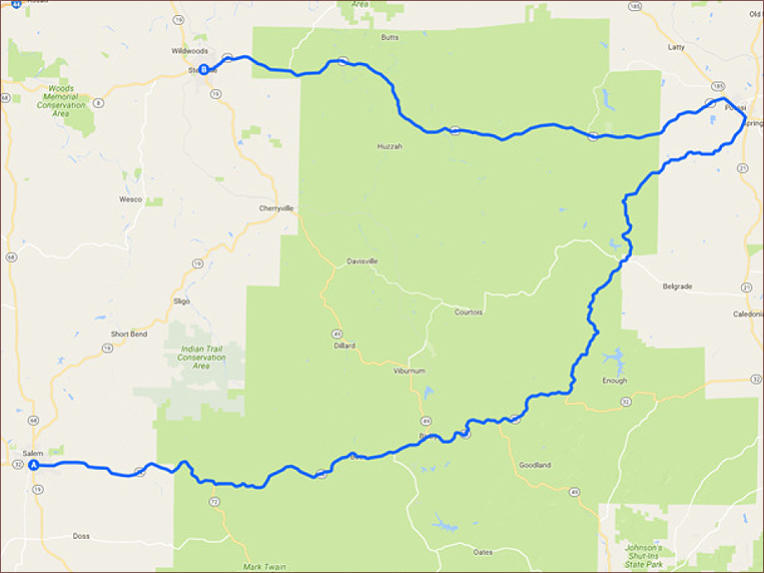
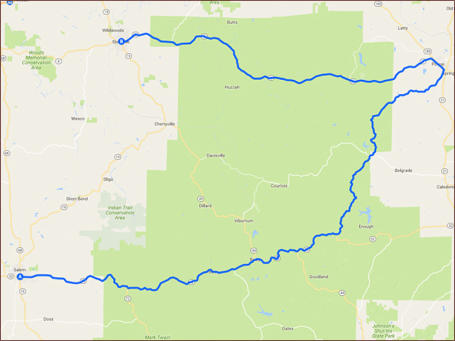
Salem to Steelville - 98 miles


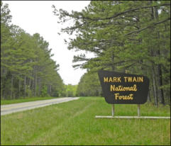
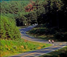
This 98 mile ride picks up in Salem Missouri just south of Rolla. You’ll travel east through the senic Mark
Twain National Forest, before turning northwest toward Potosi. Then you’ll switch back west towards
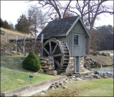
Steelvile. The scenery on this ride is some of the best in south central Missouri.

SHARE WITH US
Copyright © 2026 - Ozark Rides, All Rights Reserved


![[x]](index_htm_files/close.png "Close")


Copyright © 2026 - Ozark Rides, All Rights Reserved


Salem to Steelville - 98 miles

This 98 mile ride picks up in Salem Missouri just south of Rolla.
You’ll travel east through the senic Mark Twain National Forest,
before turning northwest toward Potosi. Then you’ll switch back
west towards Steelvile. The scenery on this ride is some of the
best in south central Missouri.
Step by Step Directions:
From Salem
Head south on S Main St toward E Scenic Rivers Blvd 36 ft Turn
left at the 1st cross street onto MO-32 E/MO-72 E/E Scenic Rivers
Blvd Continue to follow MO-32 E/MO-72 E 12.2 mi Slight left onto
MO-32 E 25.1 mi Turn left onto State Hwy DD 9.91 mi Turn right
onto Old Rte C 0.265 mi Slight left onto State Hwy P 14.0 mi Turn
left onto MO-8 W/E High St Continue to follow MO-8 W 36.3 mi
Turn left onto Pine St 7 ft


MENU