

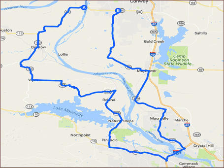
Arkansas River Run - 72 miles


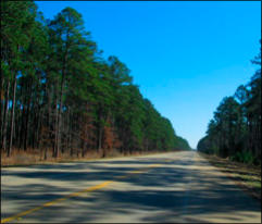
This 72 mile ride covers some of the prettiest scenery in Arkansas, covers a variety of land types, some hilly
and curvy through the climb out of the Arkansas River Valley to the flatness and lushness of the Arkansas
River Valley, not like large fields that crops are planted. Goes by several waterways, backside of Lake Conway
to glimpses of the River along the way to over the River and then back up beside Pinnacle Mountain and hilltop
scenes near the tree farm outside Roland, and by the Ouachita Hiking Trail.

SHARE WITH US
Copyright © 2026 - Ozark Rides, All Rights Reserved


![[x]](searcy to siloam springs_htm_files/close.png "Close")


Copyright © 2026 - Ozark Rides, All Rights Reserved


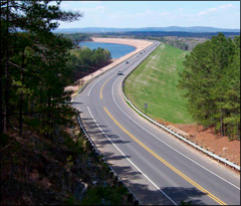
This 72 mile ride covers some of the prettiest scenery in
Arkansas, covers a variety of land types, some hilly and curvy
through the climb out of the Arkansas River Valley to the
flatness and lushness of the Arkansas River Valley, not like large
fields that crops are planted. Goes by several waterways,
backside of Lake Conway to glimpses of the River along the way
to over the River and then back up beside Pinnacle Mountain and
hilltop scenes near the tree farm outside Roland, and by the
Ouachita Hiking Trail.

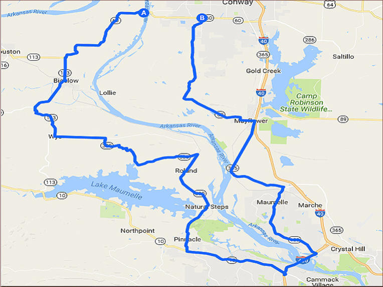
Step by Step Directions:
From Conway
Head west on AR-60 W 7.28 mi * Turn left onto AR-113
S/Arkansas River Trail 7.97 mi * Slight left onto AR-300 E 10.8
mi * Turn right to stay on AR-300 E 1.57 mi * Turn left to stay
on AR-300 E 7.58 mi * Turn left onto AR-10 E/Cantrell Rd 6.58
mi * Take the Interstate 430 N ramp 1,112 ft * Merge onto
I-430 N 2.34 mi * Take exit 12 for AR-100 W toward Maumelle
0.342 mi * Turn left onto AR-100 W/Crystal Hill Rd Continue to
follow AR-100 W 6.93 mi * Sharp left onto AR-365 N/Arkansas
River Trail 7.87 mi * Turn left onto Arkansas River Trail/Miller
St Continue to follow Arkansas River Trail 5.08 mi * Turn right
onto Arkansas River Trail/Rocky Gap RdContinue to follow
Arkansas River Trail 5.78 mi * Turn right onto Donnell Ridge Rd
0.631 mi * Turn left at the 2nd cross
street onto Mattison Rd 0.379 mi
Arkansas River Run - 72 miles


MENU